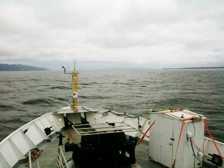
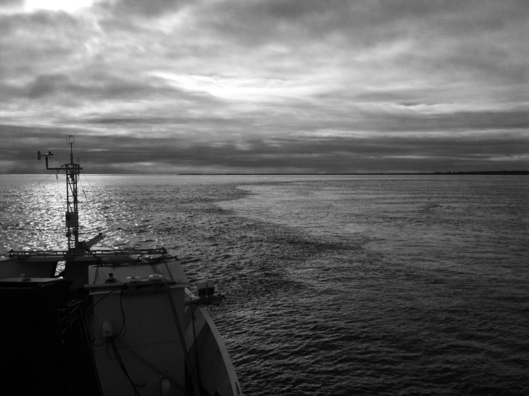
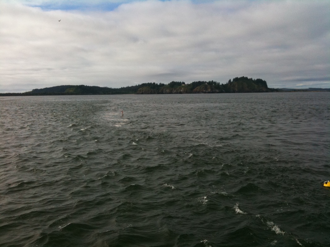
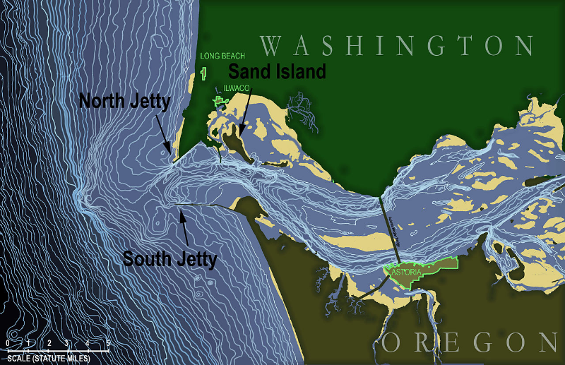
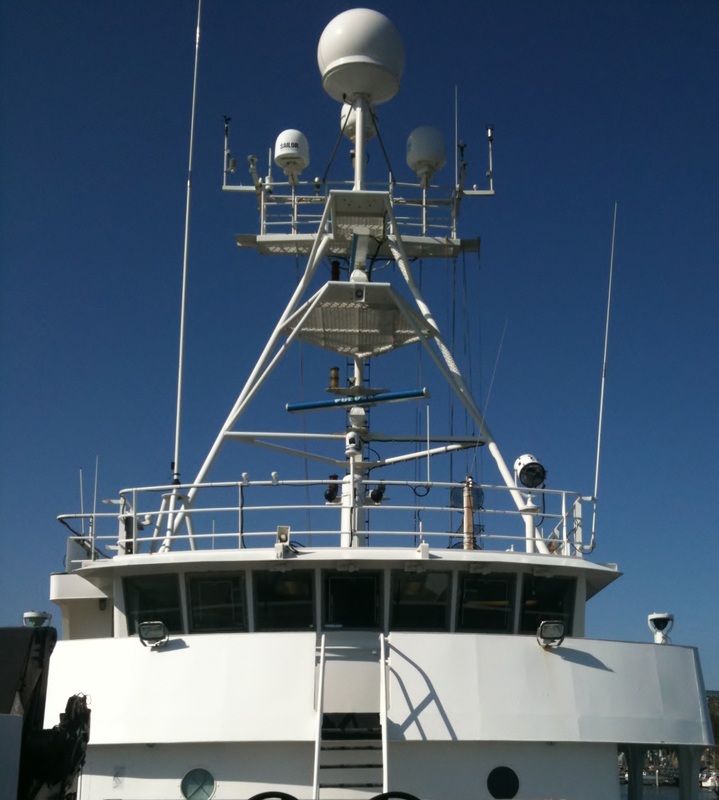
 We kind of took over the bow of the research vessel. The outhouse kept all 4 of our data acquisition systems nice and dry. The crew were making bets about how long it would survive, but the Bar was nice to us the little house that could came back in one piece. Astoria, Oregon. One of the most infamous river bars in the world. Science. All of these things came together for an epic late spring, early summer oceanograpicpalooza. Ok, now for the nitty and the gritty. The whole project (Riverine and Estuarine Transport), is an interdisciplinary, inter-institution effort to understand the the complex dynamics of a river-estuary-ocean system. The project is primarily supported by the Office of Naval Research and involved two vastly different river mouth systems. The first installment, RIVET I, took place at New River Inlet, North Carolina. This tidal inlet is typical of the eastern seaboard's Intracoastal Waterway system, with a relatively narrow and shallow passage between the waterway and the ocean. The most recent project, RIVET II, was worlds apart from its predecessor and took place in one of the roughest, most dangerous river mouths in the world, the Columbia River Bar. While the aim was similar to RIVET I, the in situ data collection was an enormous undertaking because of the shear size and energy of the MCR system. Involving several full-sized research vessels (and at least one global class), a fleet of small boats, jet skis, and airplanes, the entire research initiative must have been a little out of this world for the small town of Astoria (which sits just east of the Bar). Our group's aim, at both sites, was to provide air-sea coupling information, which is critical to having a comprehensive picture of any ocean system, inlets included. As far as data collection goes, we wanted to simultaneously collect meteorological and oceanographic information on a platform that could provide excellent resolution in time and space. In other words, we bolted met-towers to boats, strapped on ADCP's, and drove in, out, and around the inlet system for a few weeks. Below you'll find some pictures from the Columbia, one of them is shamelessly stolen from Wikipedia....can you guess which one?
0 Comments
Your comment will be posted after it is approved.
Leave a Reply. |
Archives
January 2023
Categories |

 RSS Feed